

GALERA · Routes
Ethnographic Route
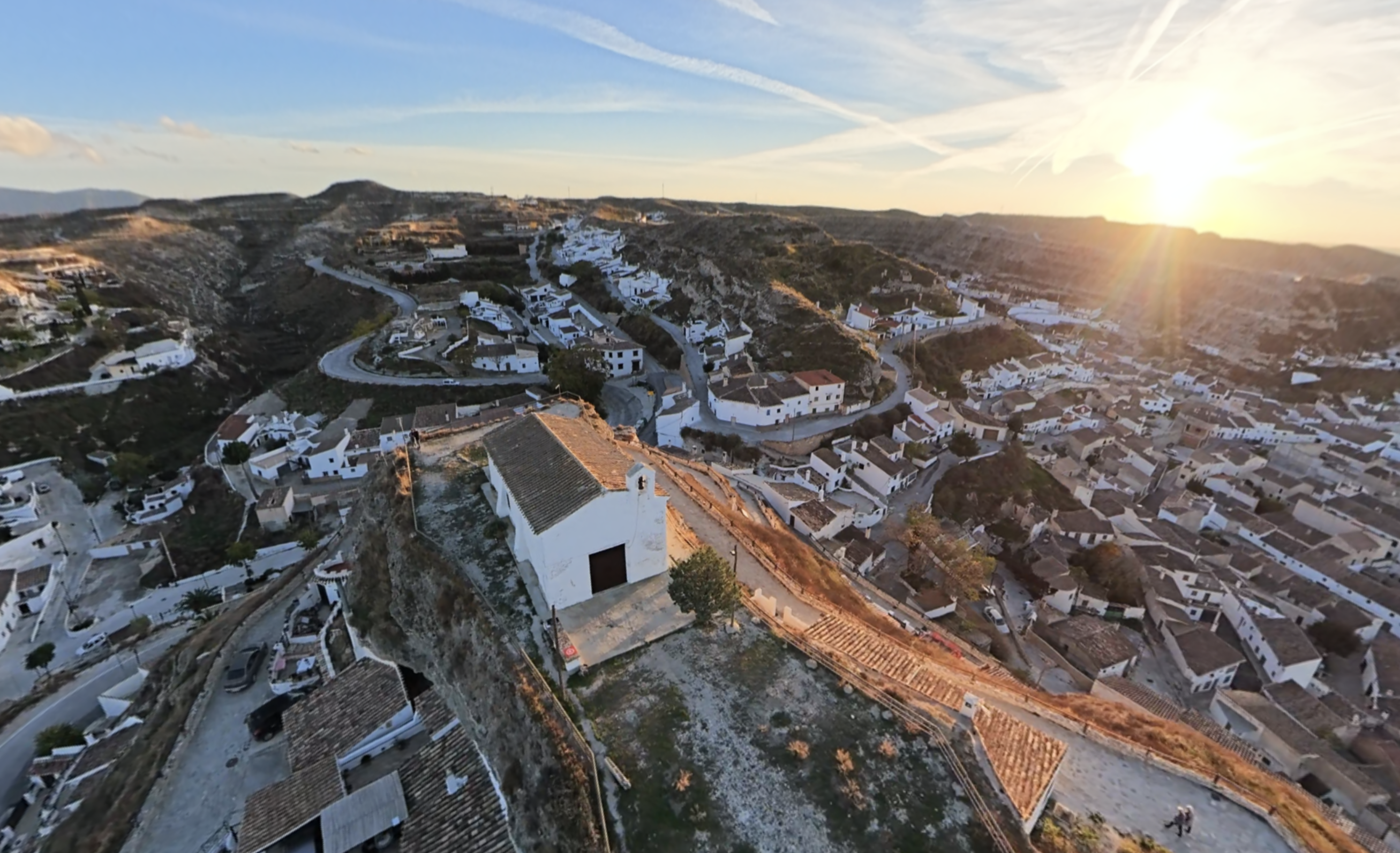
Begin at the museum, where objects and a recreation of a cave house help visitors discover the everyday life of earlier generations. Continue to the Church of the Annunciation and Cerro de la Virgen de la Cabeza, two places connected with the town’s historical transformations. From the viewpoint, we will see the neighborhoods of cave houses, carved into the hillsides and adapted over time to meet new needs.
The Iron Bridge will lead us to another gathering place, connected with the history of communications and the memories of local residents. Insights from Jesús María García, chronicler of Galera, accompany several of these stops. His explanations help us relate the buildings we see to historical events, occupations that have disappeared and experiences that remain part of local memory.
Useful information
- Distance
- To be defined
- Duration
- To be defined
- Difficulty
- To be defined
Route map
Route stops
-
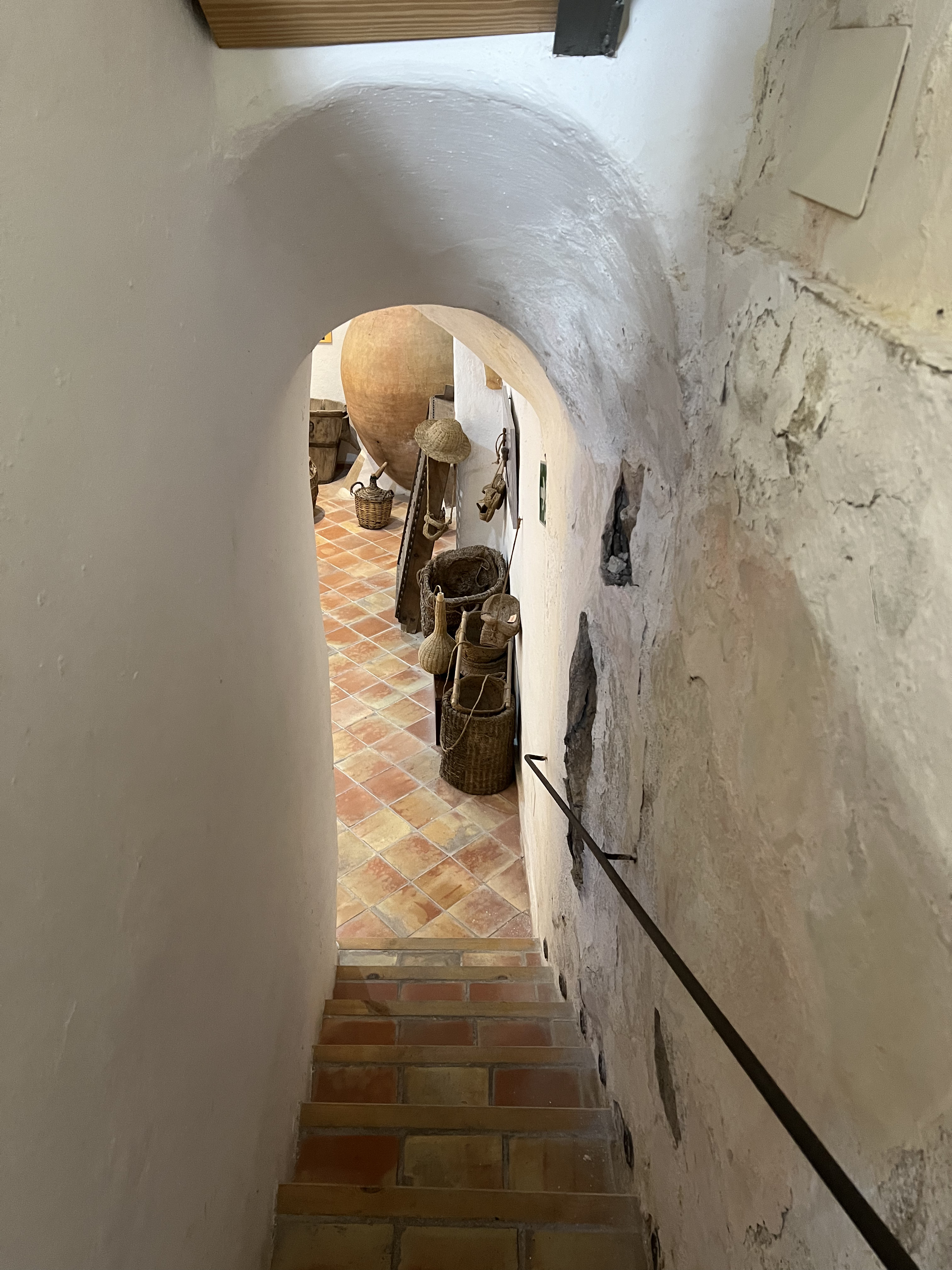
Galera Museum
At the Galera Museum, history is also told through the objects used for work, cooking and daily life.View place → -
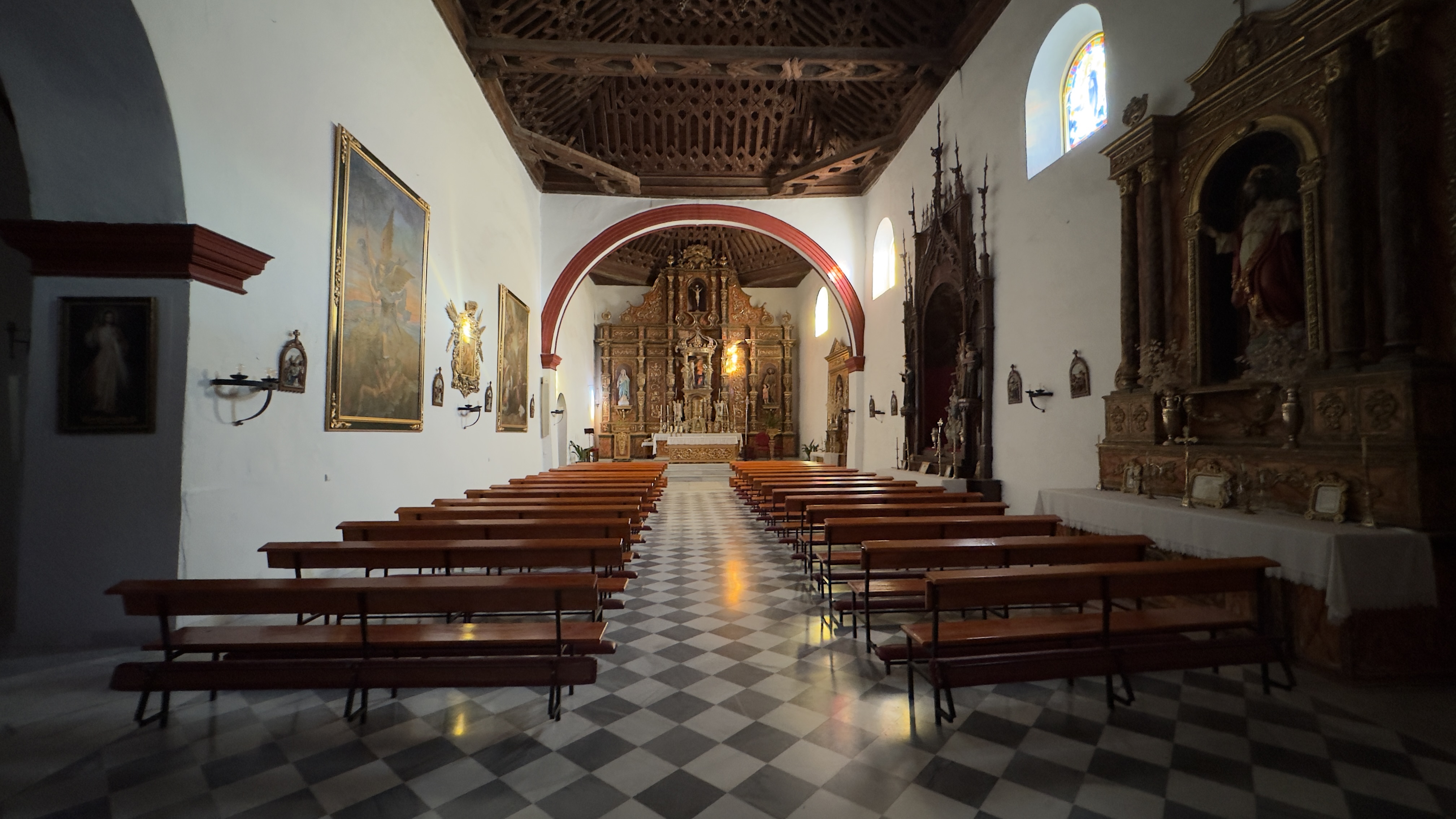
Church of Our Lady of the Annunciation
The Church of Our Lady of the Annunciation bears traces of different periods in Galera’s history.View place → -
Hermitage of the Virgen de la Cabeza
The Ermita de la Virgen de la Cabeza gives its name to a hill central to understanding Galera’s history. The old town stood here before its destruction in 1570.View place → -
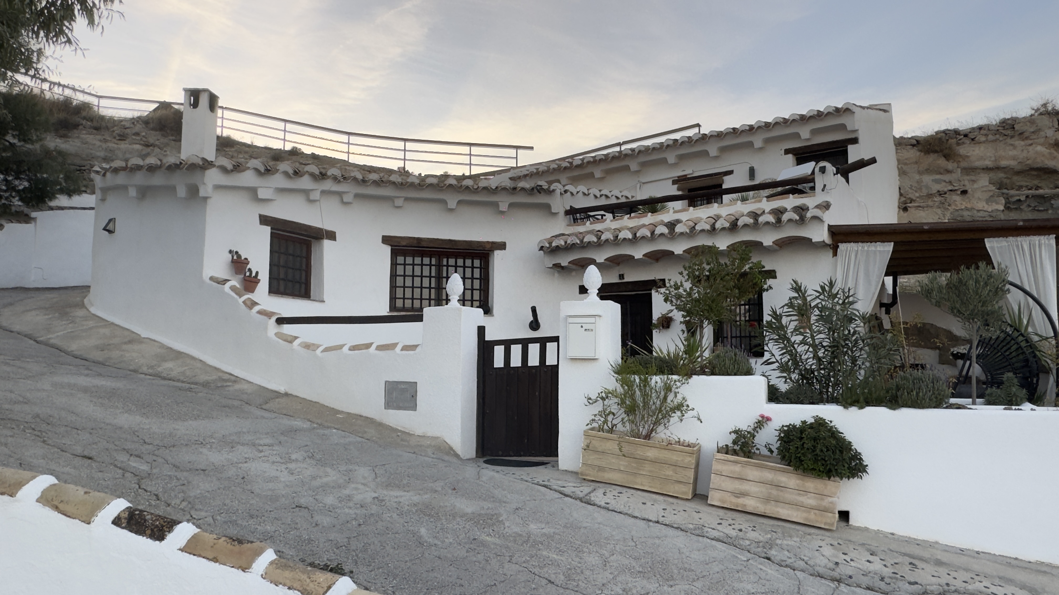
Panoramic Viewpoint and Cave Houses
From this viewpoint, look for the façades and chimneys on the slopes: they reveal homes whose living spaces extend into the ground.View place → -
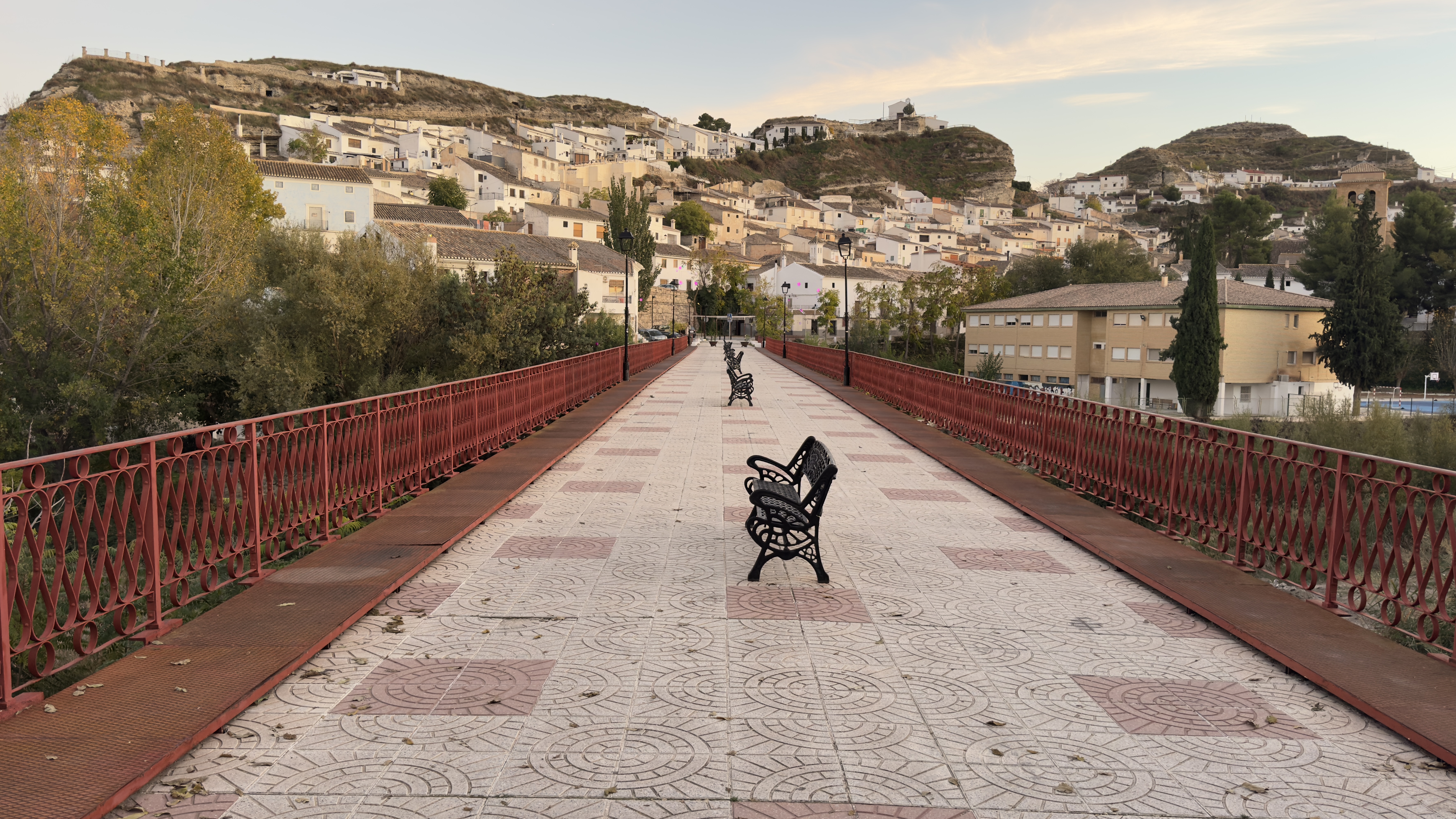
Iron Bridge
The iron bridge was built to meet a practical need: a crossing better able to withstand floods.View place →
Keep exploring Galera
All themes →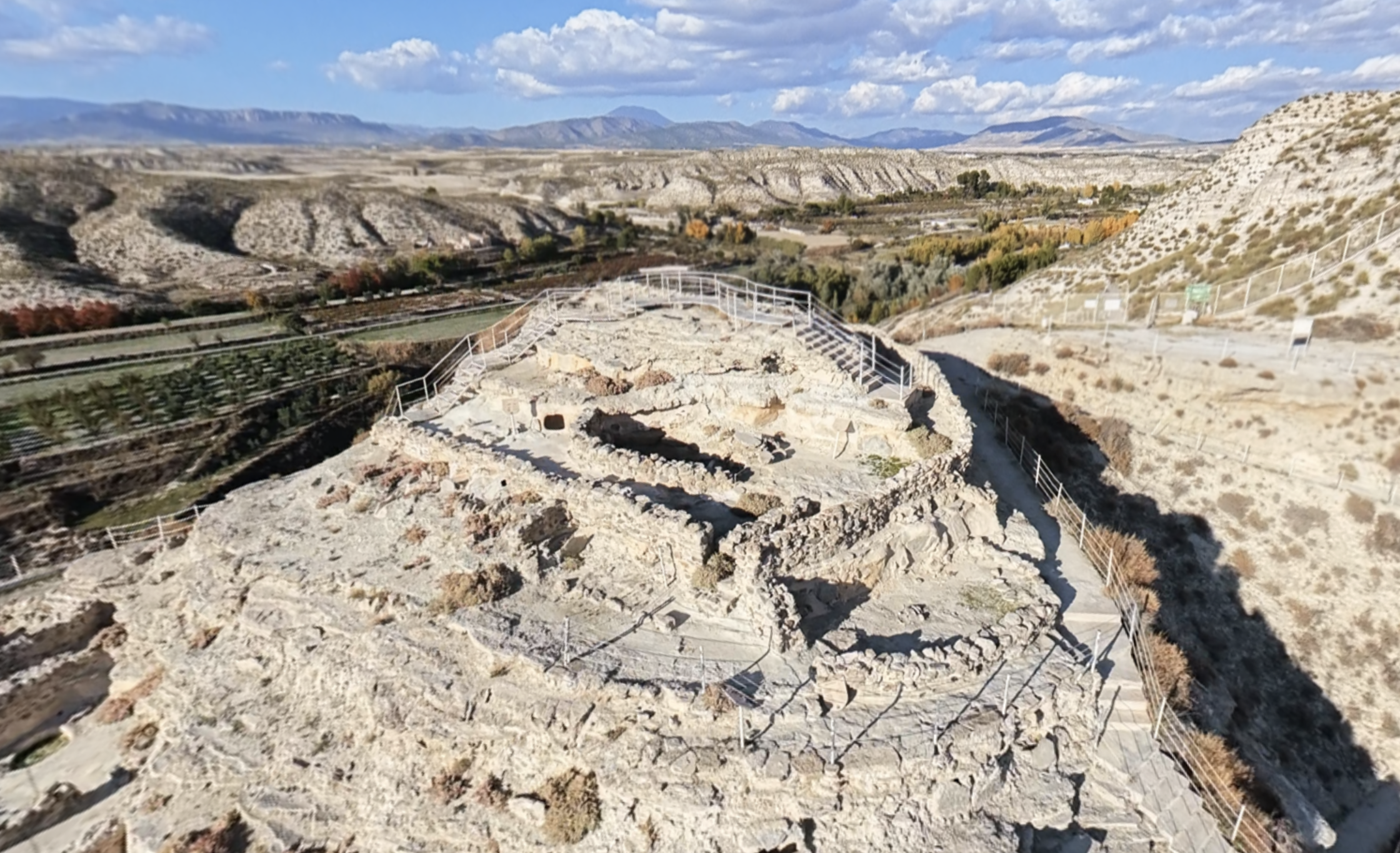
Acropolis
From the highest part of Castellón Alto, you can look out over the valley and its cultivated land.
Discover this place →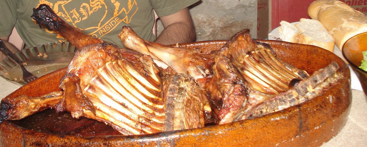
Segureño lamb and other traditional dishes
Winter cuisine brings together foods and work associated with preserving provisions.
Discover this place → Panoramic Viewpoint and Cave Houses
From this viewpoint, look for the façades and chimneys on the slopes: they reveal homes whose living spaces extend into the ground.
Discover this place →Domingo y Quiles Winery
Domingo y Quiles Winery is part of a family story that began in Galera in the early 20th century.
Discover this place →Jaraíz Winery
The name Jaraíz connects this winery with a word from traditional winemaking.
Discover this place →Bodegas Carayol y Castellar
Bodegas Carayol y Castellar is part of the route devoted to Galera’s wine culture.
Discover this place →